Spantik 7027 m – a high-altitude expedition to the Golden Peak of the Karakoram
26 days of a true expedition to a seven-thousander in Pakistan
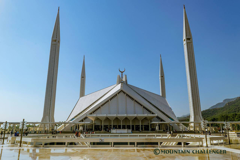
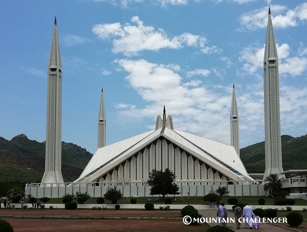
Islamabad → Skardu → Arandu → Bukhun → Manpikhuru → Khurumal →Bolocho → Spantik Base Camp (4 300 m npm) → Spantik "Golden Peak" (7 027 m npm) → Islamabad
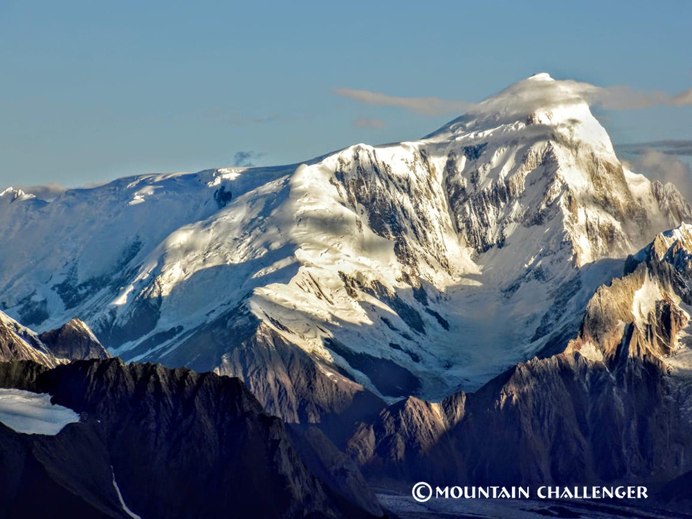
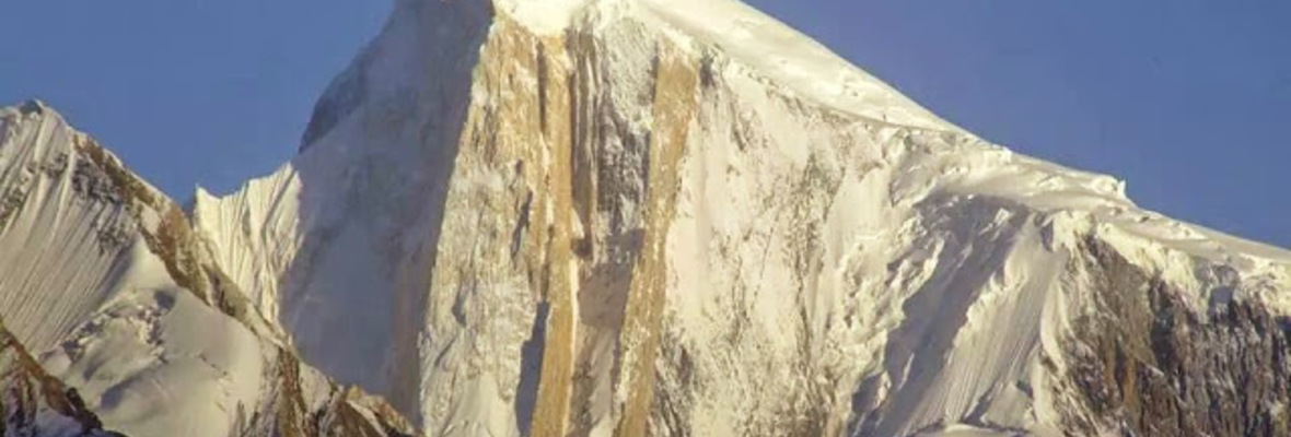
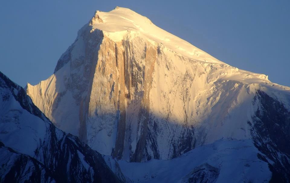 Spantik 7027 m, known as the Golden Peak, is one of the most impressive seven-thousanders in the Karakoram. Monumental, aesthetically pleasing, and yet technically accessible, it has long been a dream for experienced mountaineers who want to reach the 7,000-meter mark in an authentic, uncommercialized region of the world.
This expedition is for those seeking not just a "summit," but a true challenge, a journey, and a story that will last a lifetime.
Why Spantik 7027 m?
Spantik is widely considered one of the best seven-thousanders for a first experience at 7,000+ meters, without sacrificing the character of a high-altitude expedition.
What makes it unique:
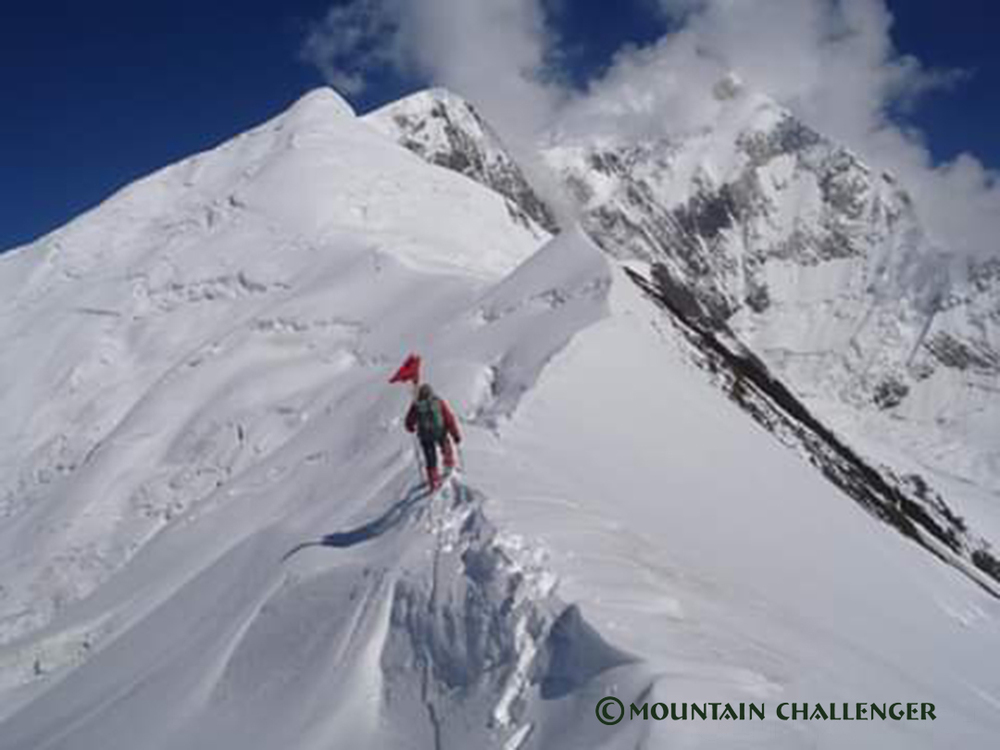
- a classic, logical southeast ridge
- a terrain slope of mainly 30–45°
- a snow-and-ice nature of the route, without difficult rock climbing
- possibility of safe camps and gradual acclimatization
- enormous elevation gain and a true "summit line"
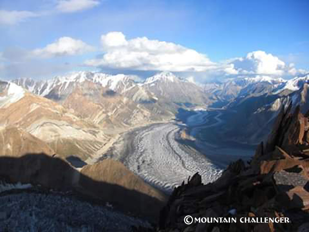
panoramic views encompassing the largest massifs of the Karakoram, and with good visibility, even K2
Spantik combines real technical accessibility with the full experience of a large mountain.
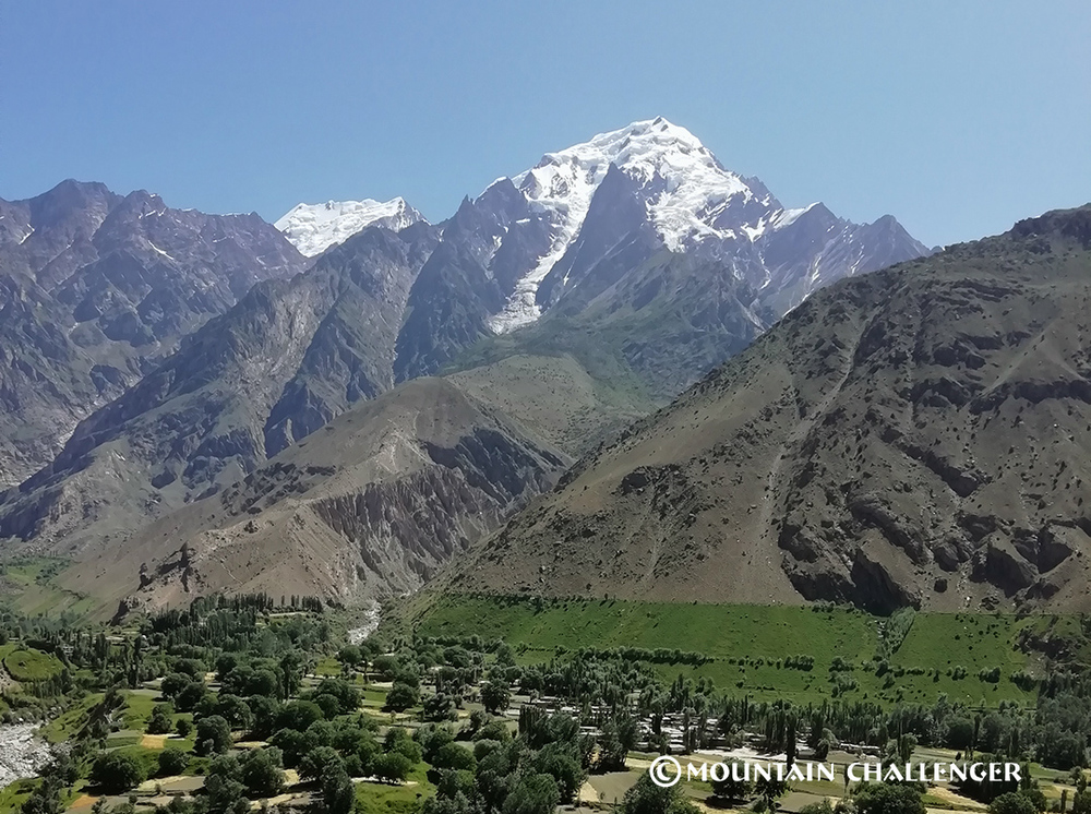
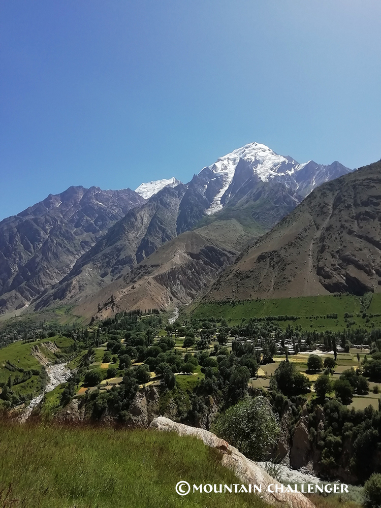
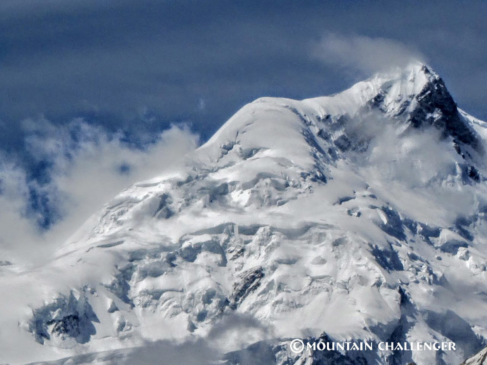
The Golden Mountain of the Karakoram
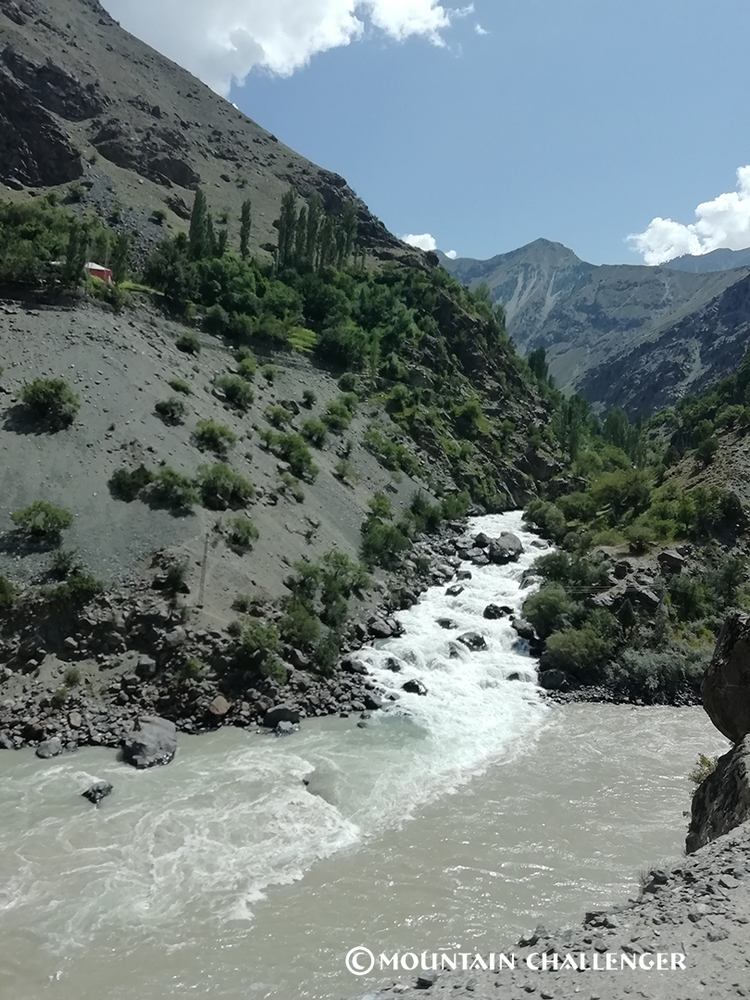
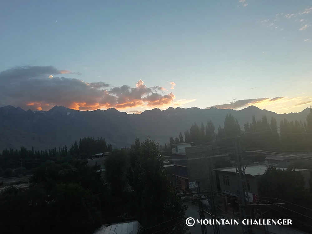
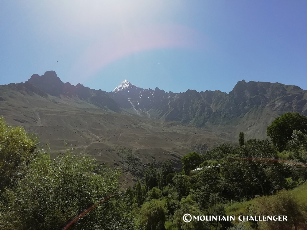
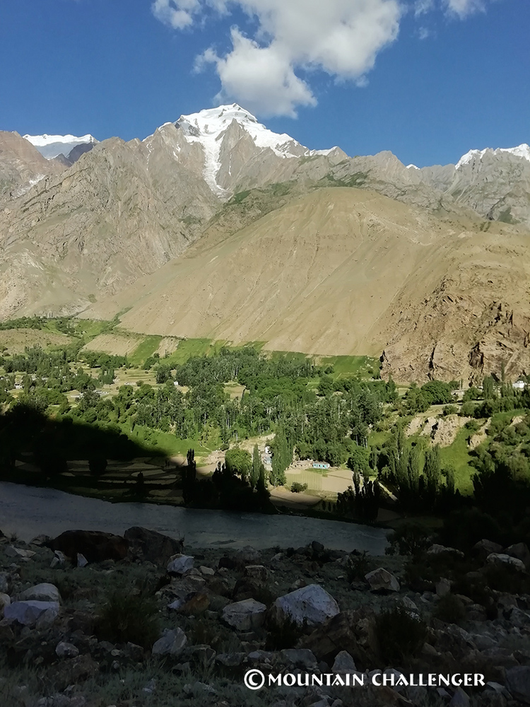
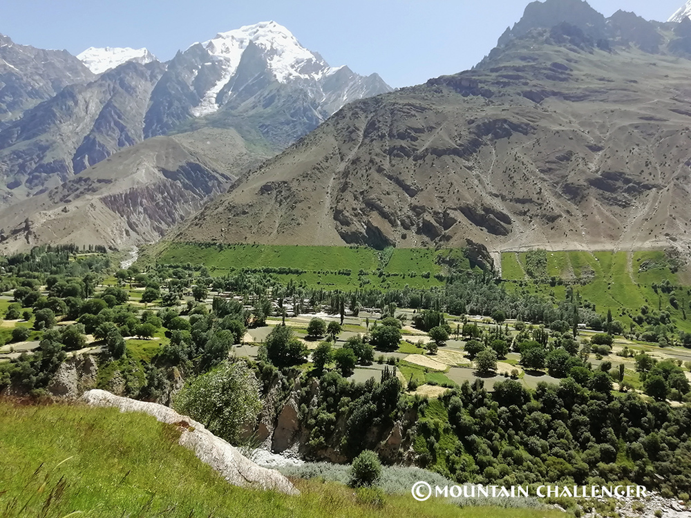
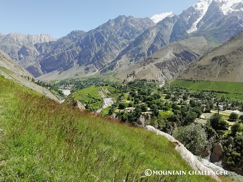
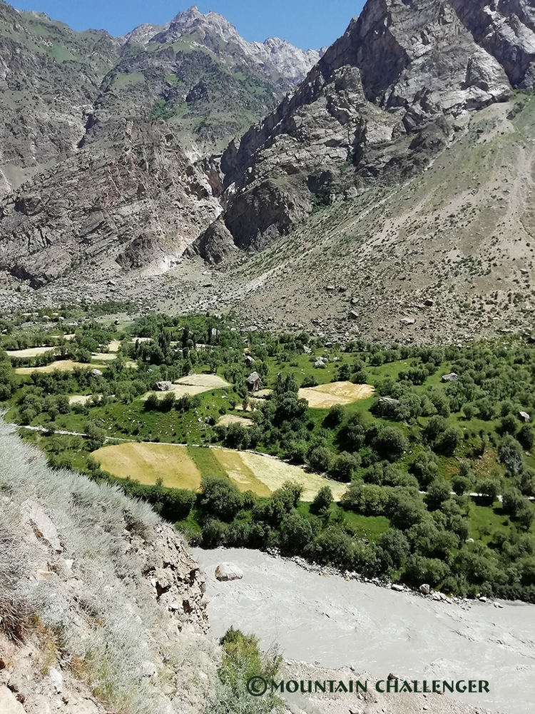
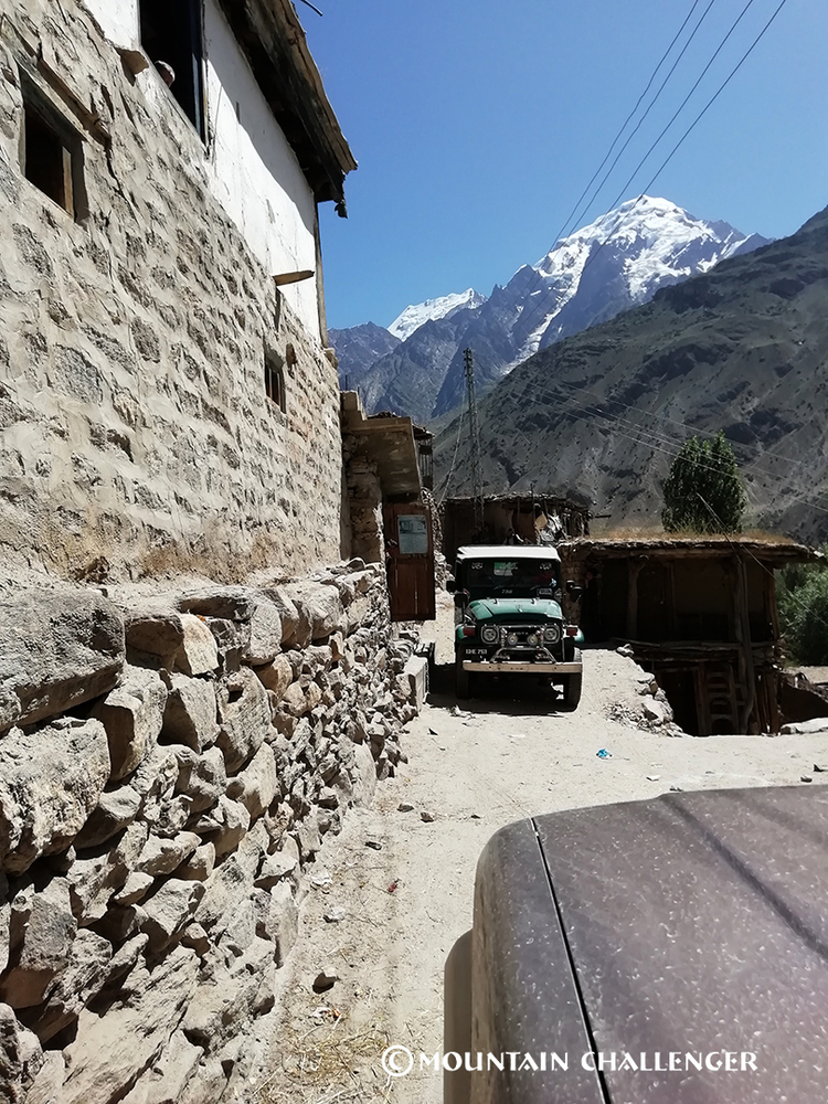
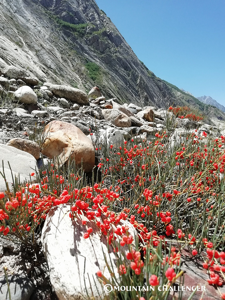
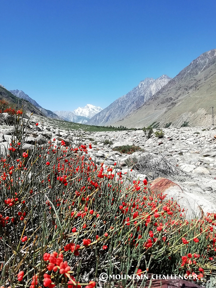
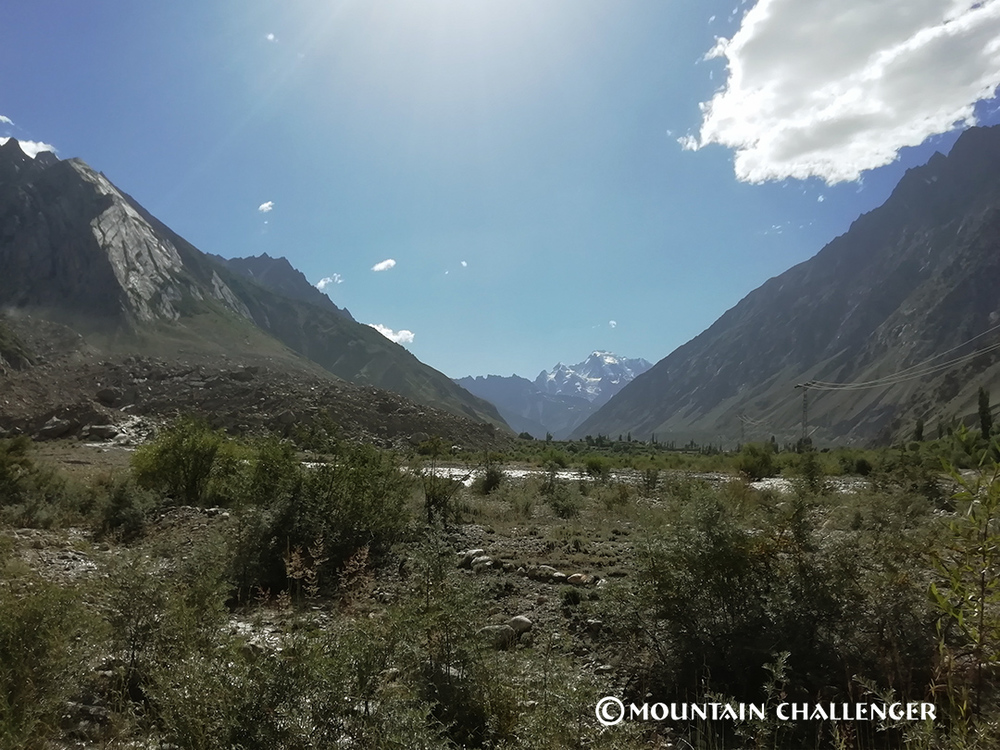
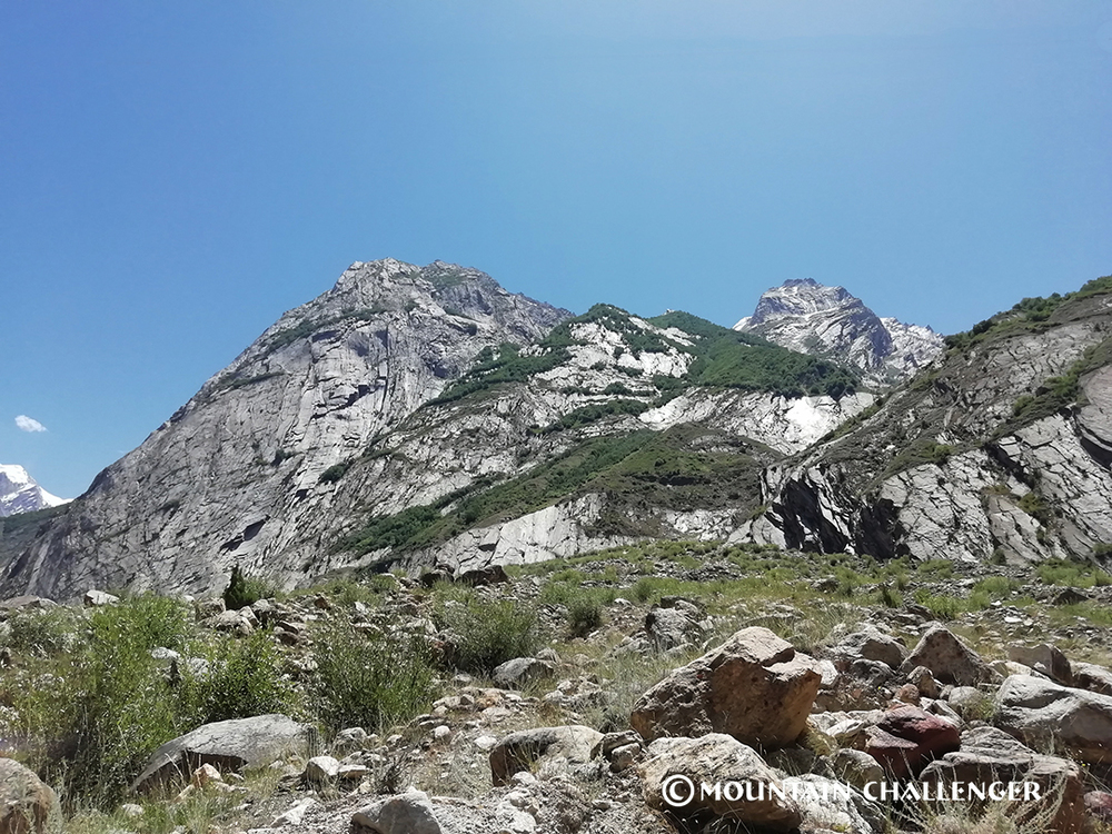
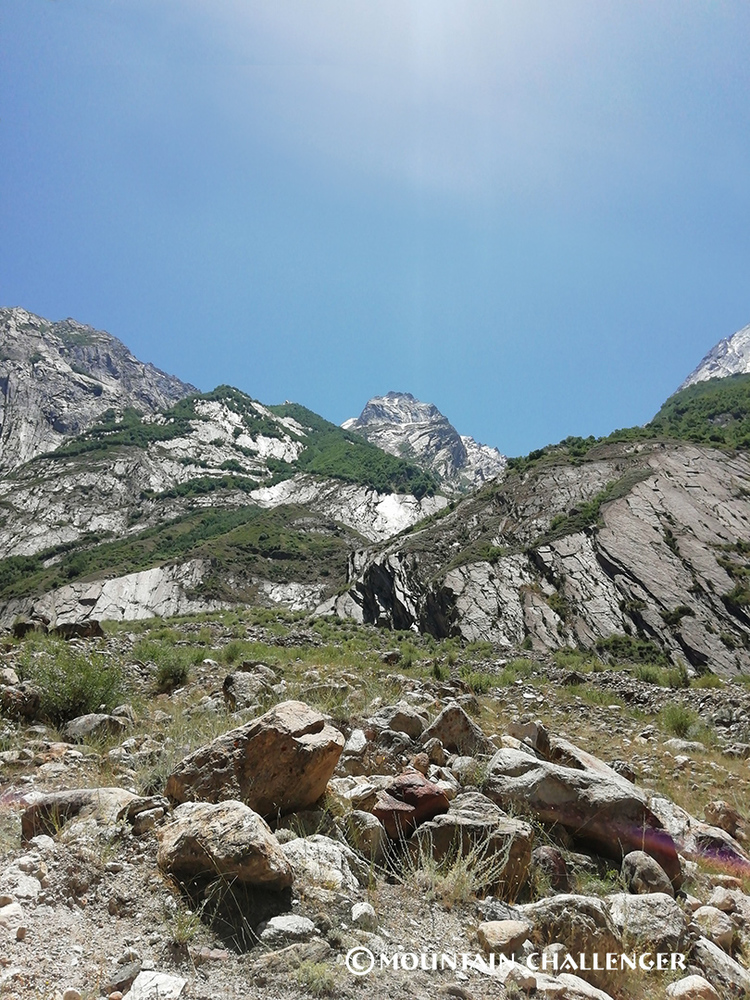
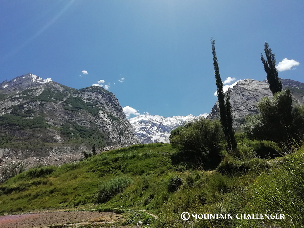
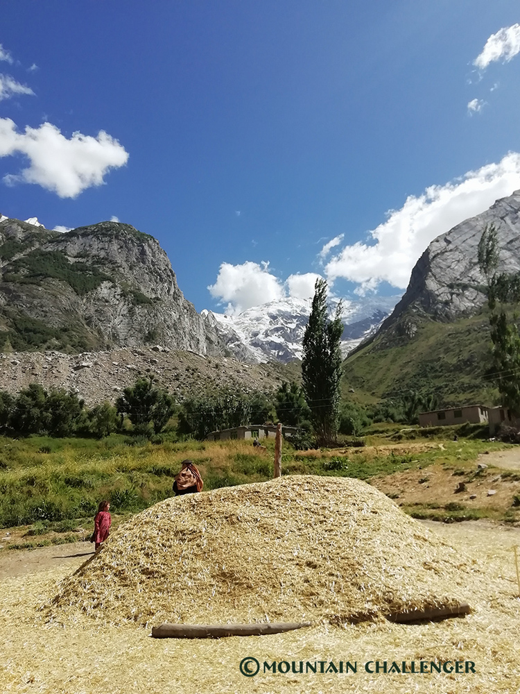
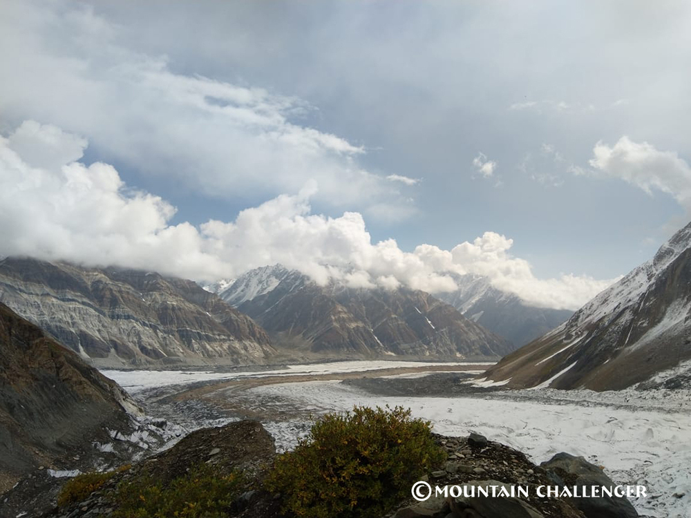
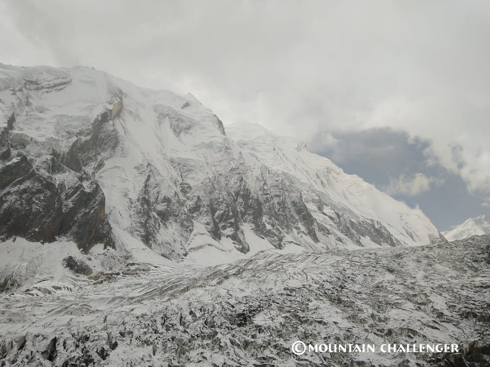
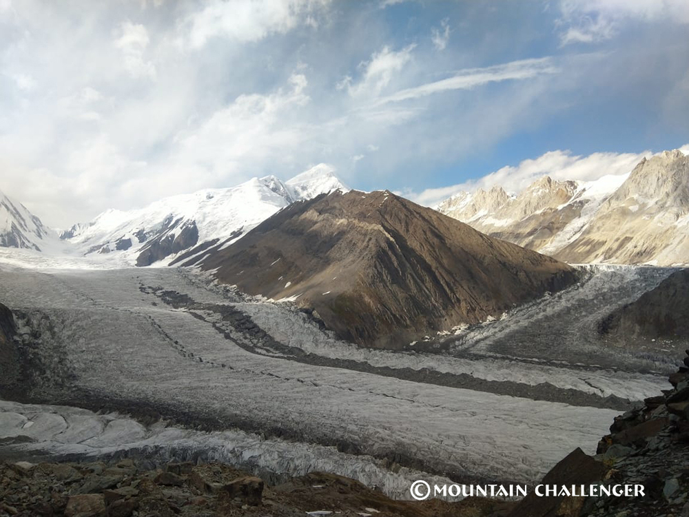
The local name Spantik means Golden Mountain or Queen – and it's hard to find a more apt description. The peak rises in the Rakaposhi massif, surrounded by giants such as Rakaposhi, Diran, and Malubiting. Its distinctive silhouette, the light at sunrise and sunset, and its dominant position over the Chogolungma glacier make it considered one of the most beautiful peaks in the Karakoram. This mountain captivates not only with its height, but also with its aesthetics and vast expanse.
26-day expedition – from Islamabad to the Karakoram Roof
The Spantik expedition is a comprehensive, multi-stage high-altitude expedition, encompassing both long journeys, trekking in wild terrain, and activities above 6,000 meters. 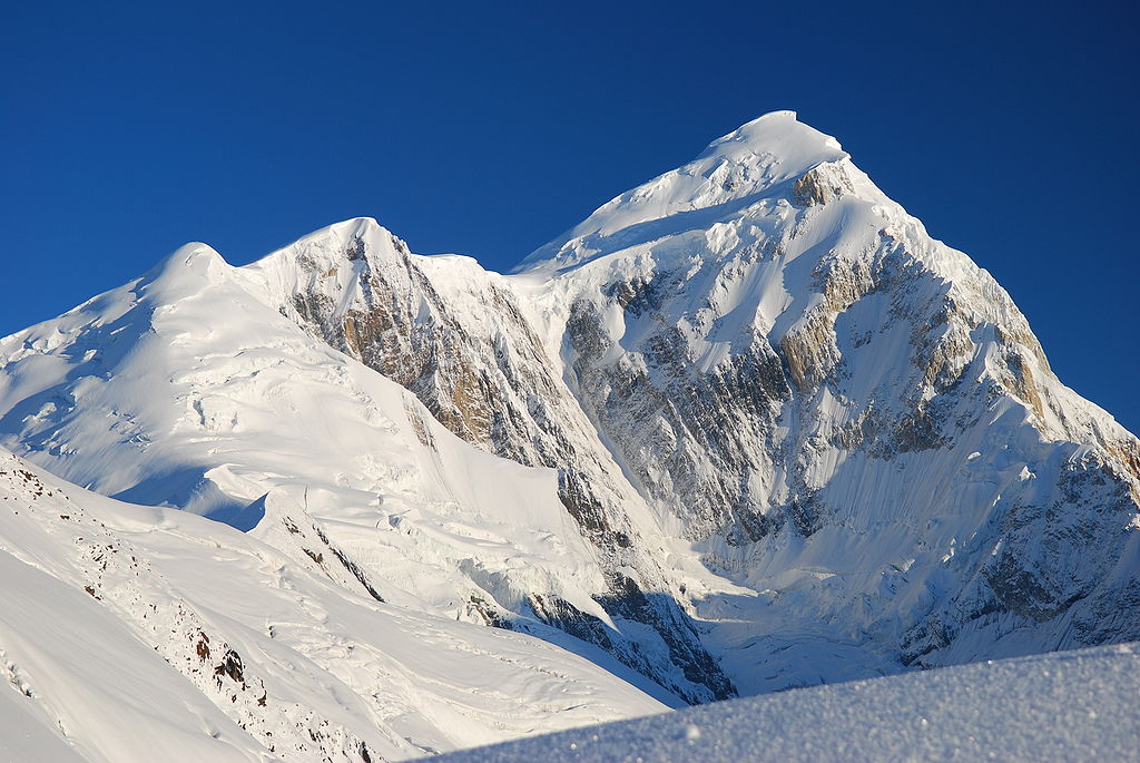
The expedition route includes:
Islamabad – Skardu – Arandu – glacial valleys – Spantik Base Camp (approx. 4,300 m) – high camps – summit attempt at 7,027 m – return by the same route.
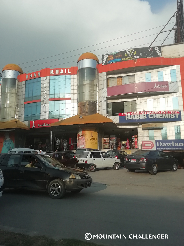
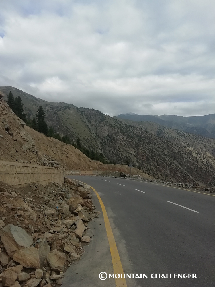
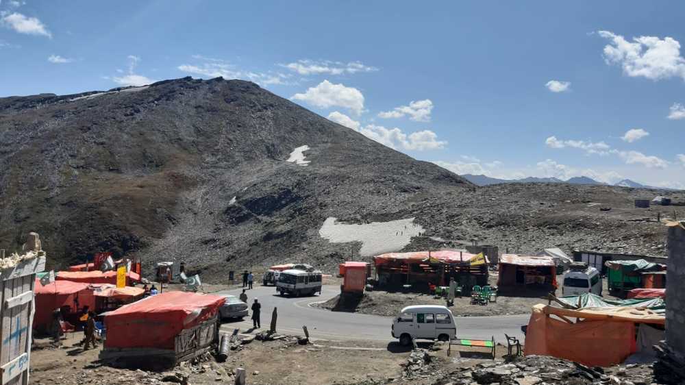
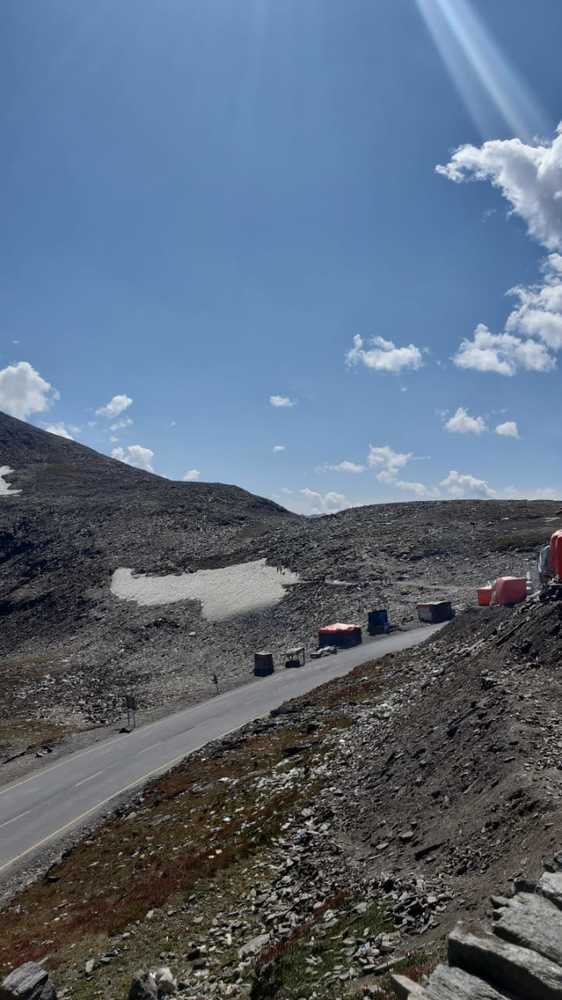
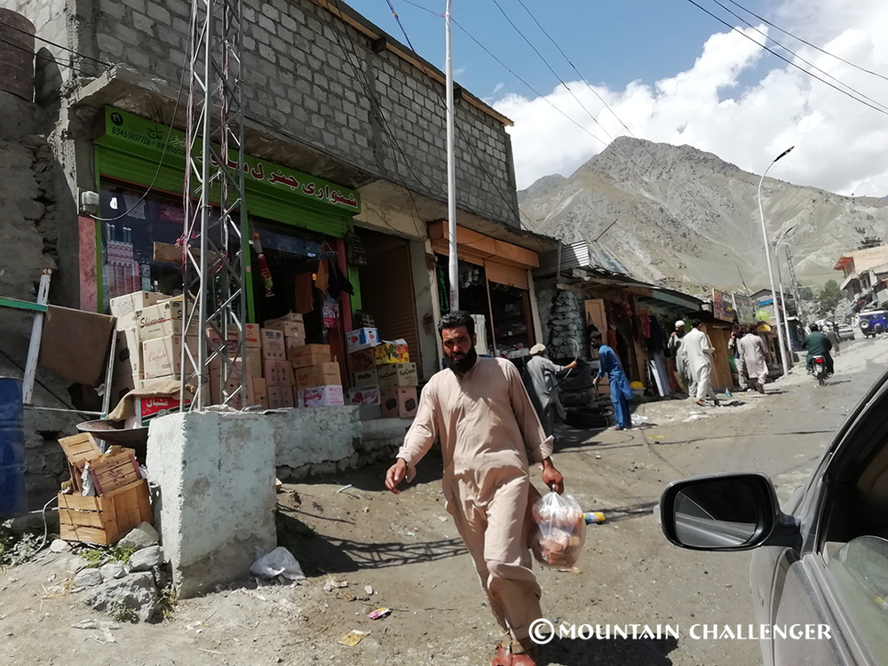
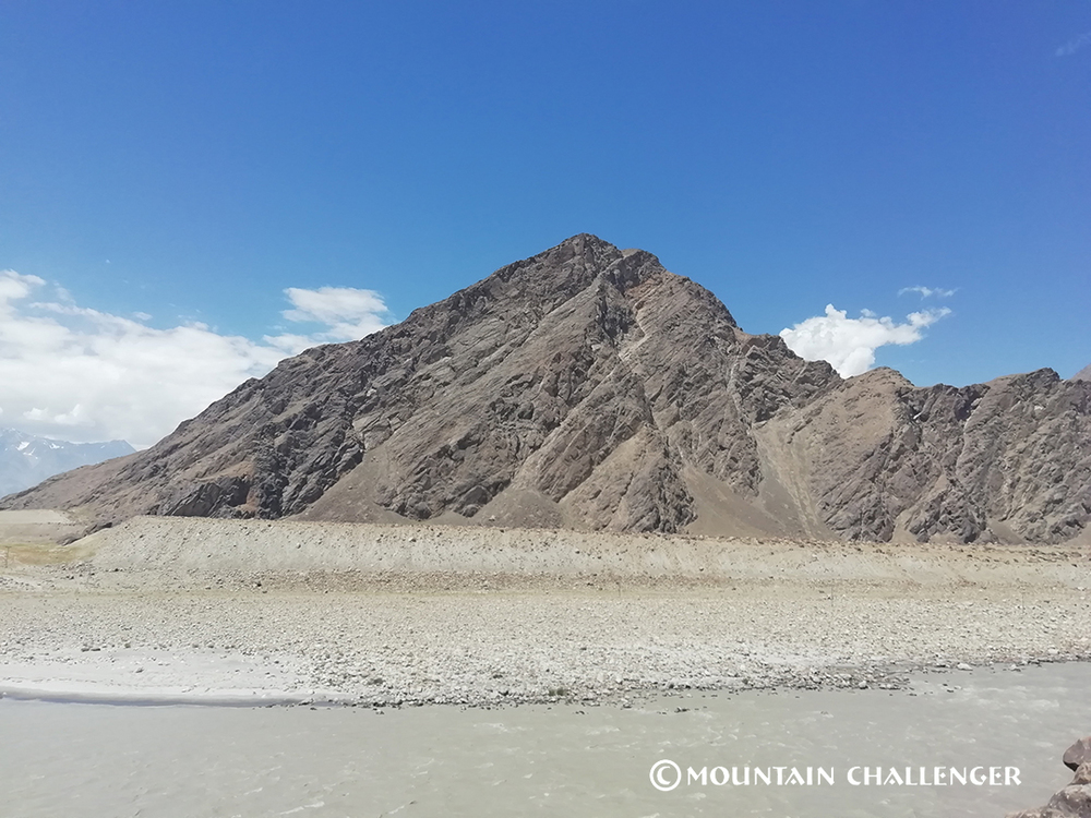
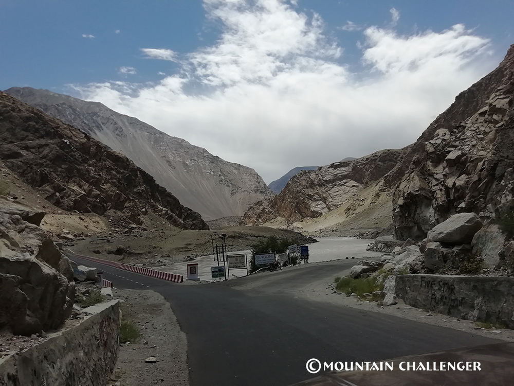
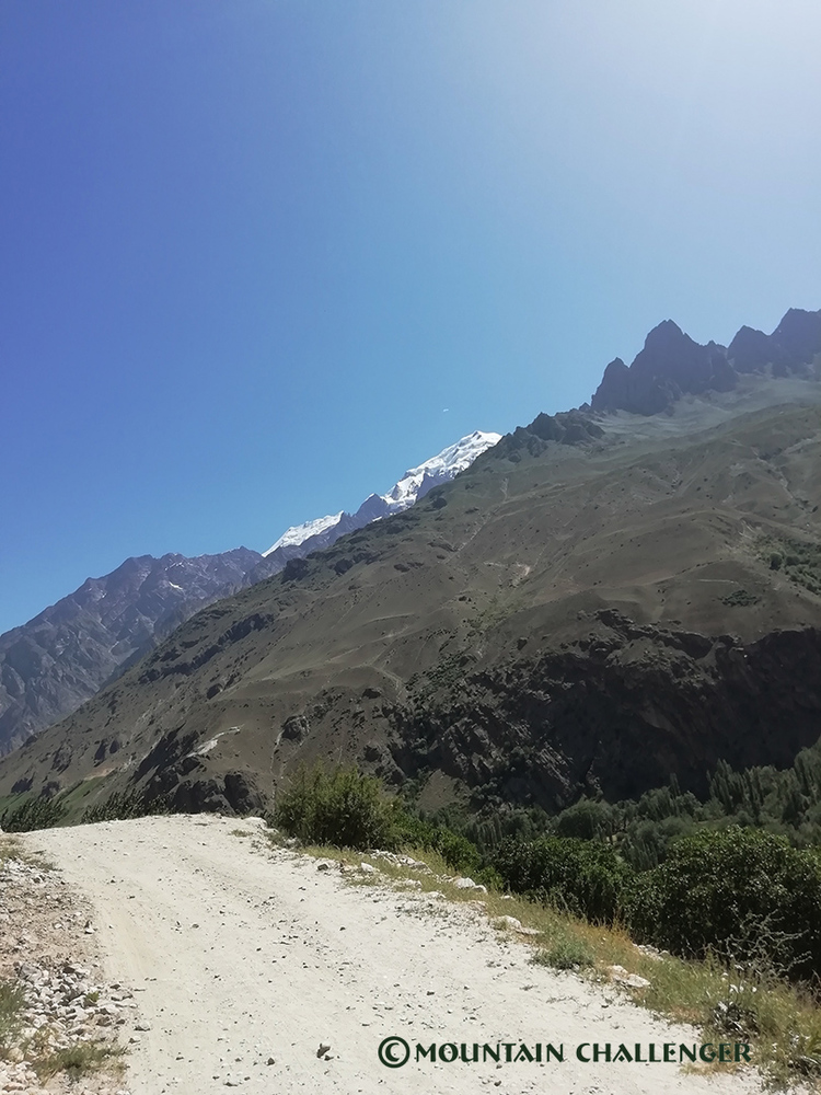
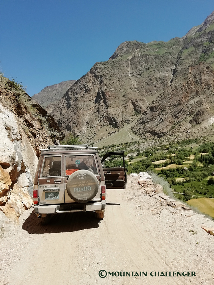
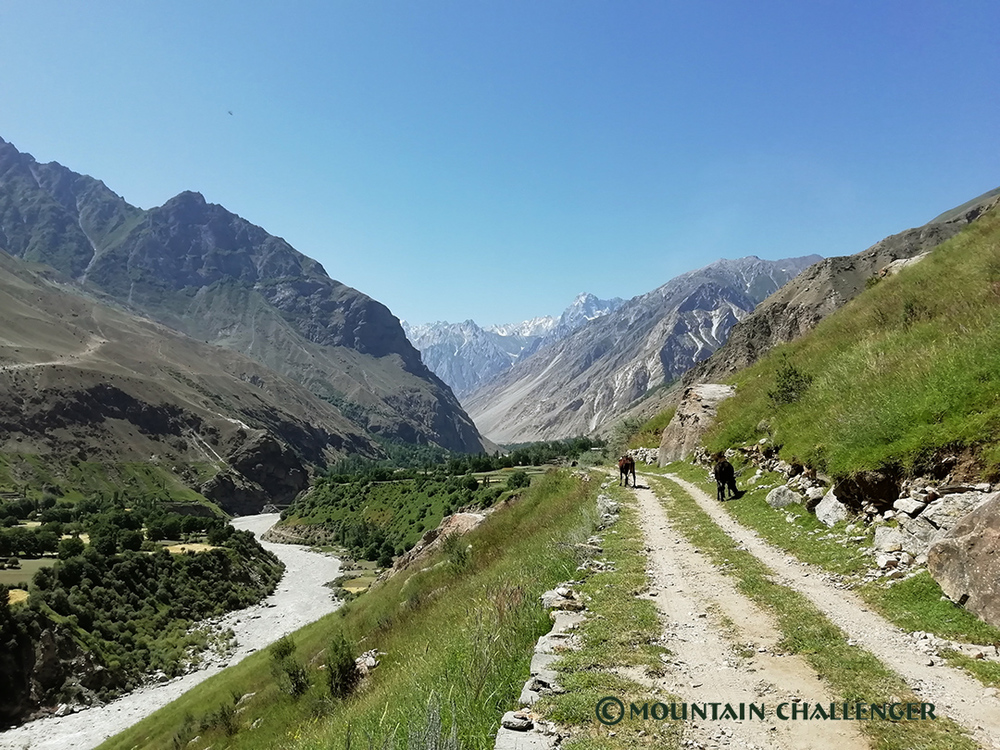
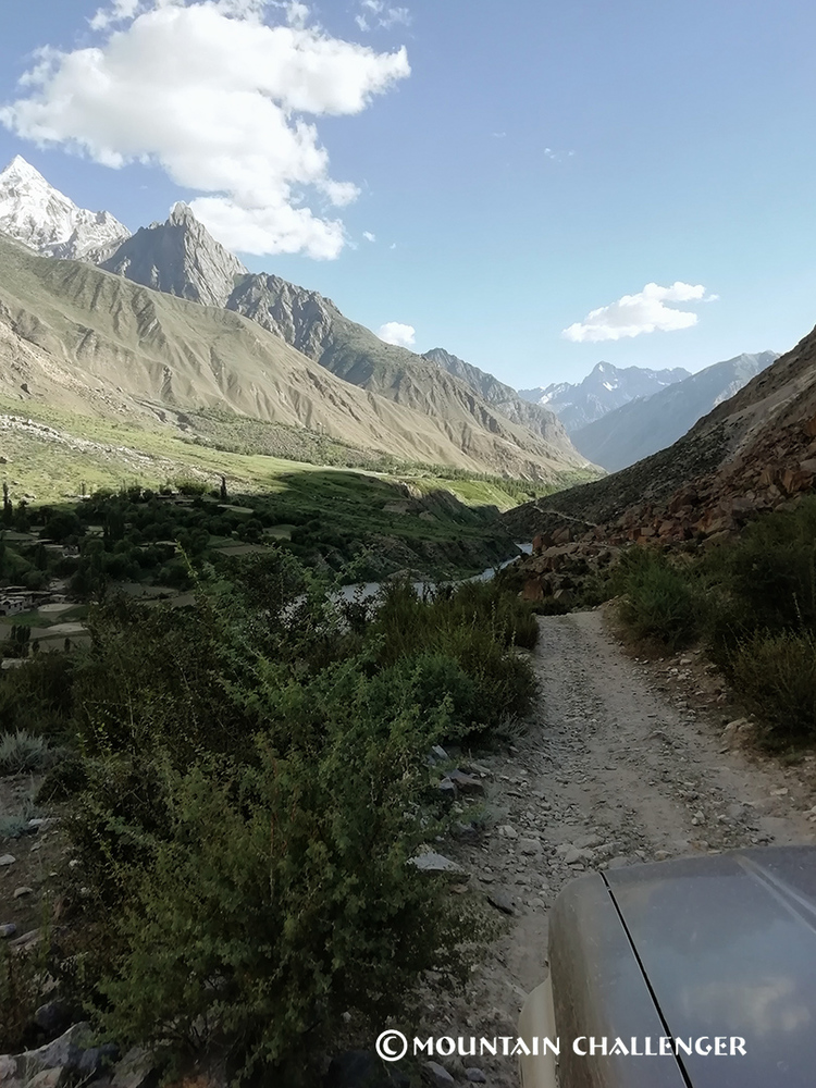
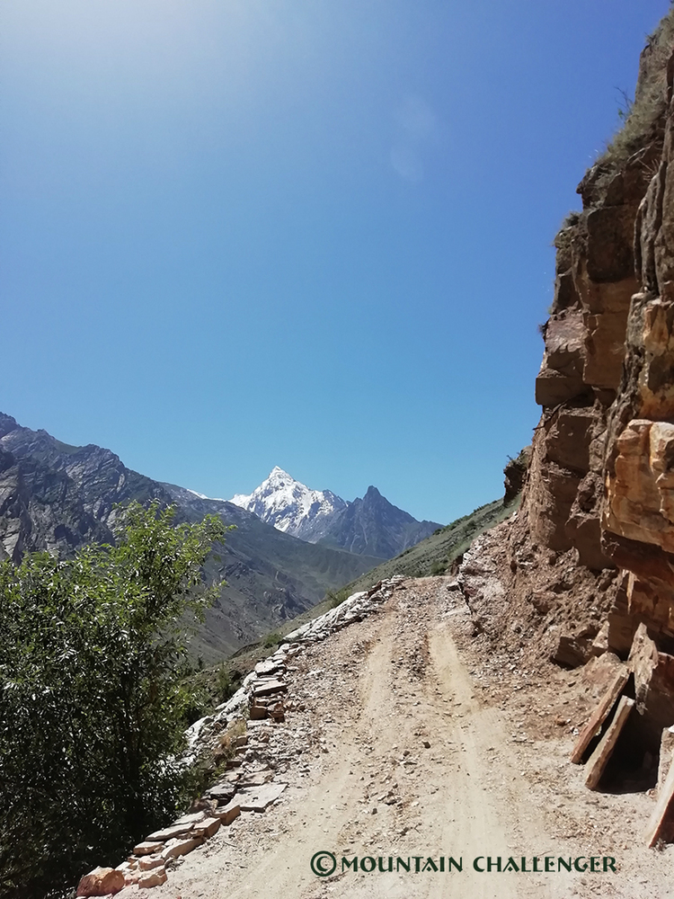
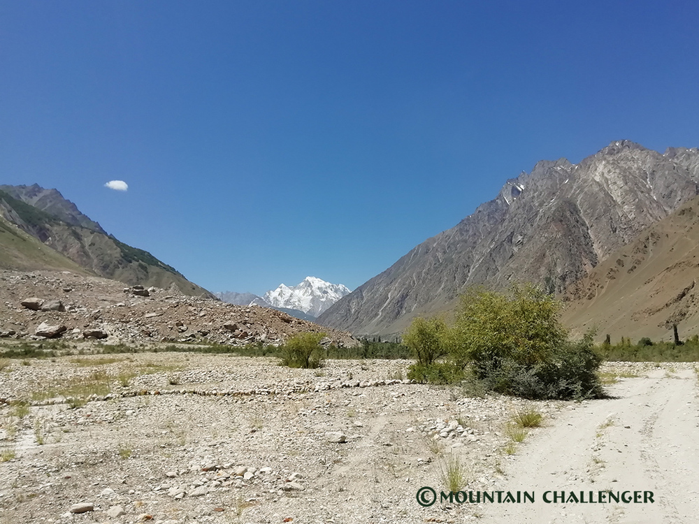
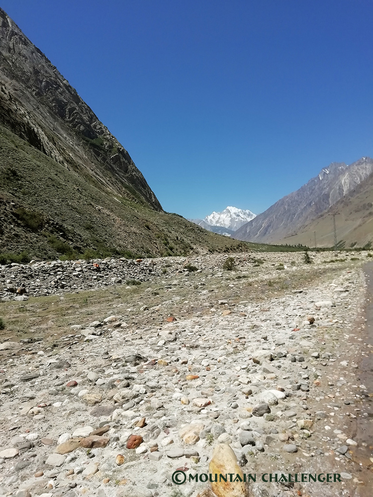
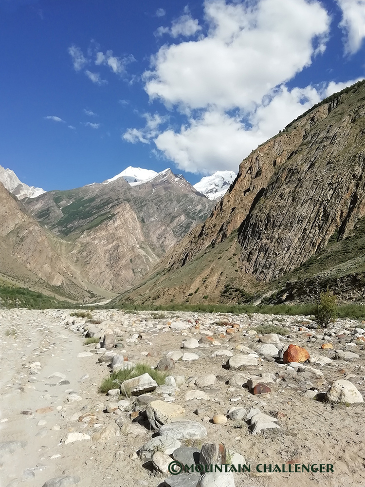
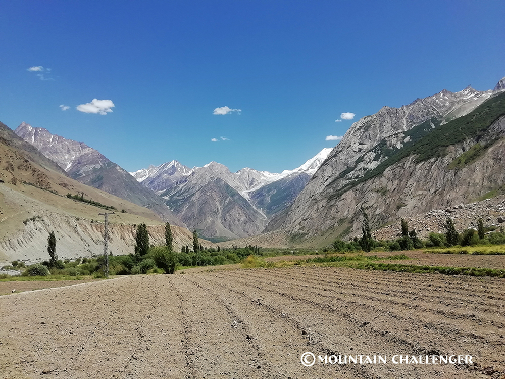
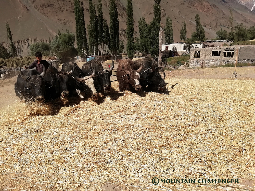
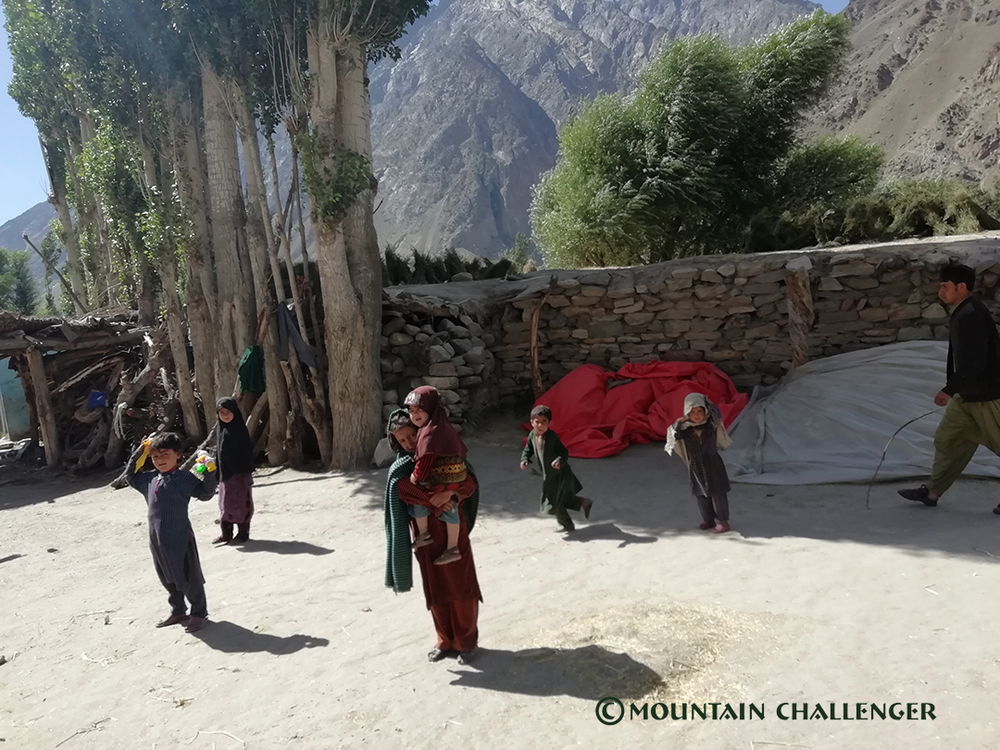
The journey along the legendary Karakoram Highway is already part of the adventure – it is one of the highest and most spectacular roads in the world, leading through the region where the Himalayas, Karakoram, and Hindu Kush meet.
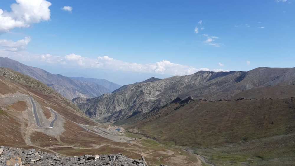
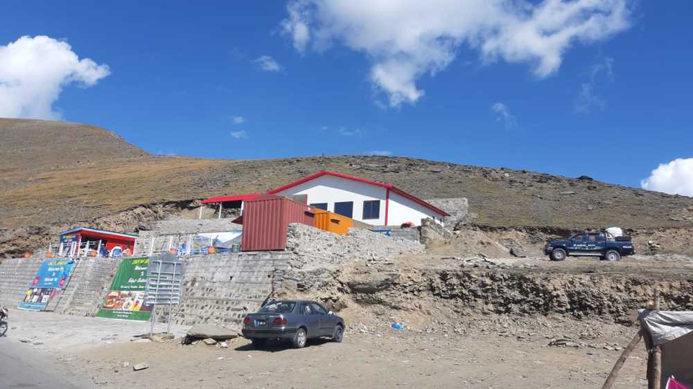
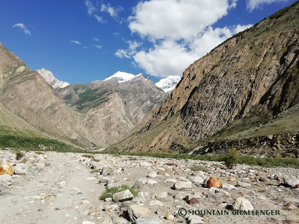
Trekking to Base Camp and Acclimatization
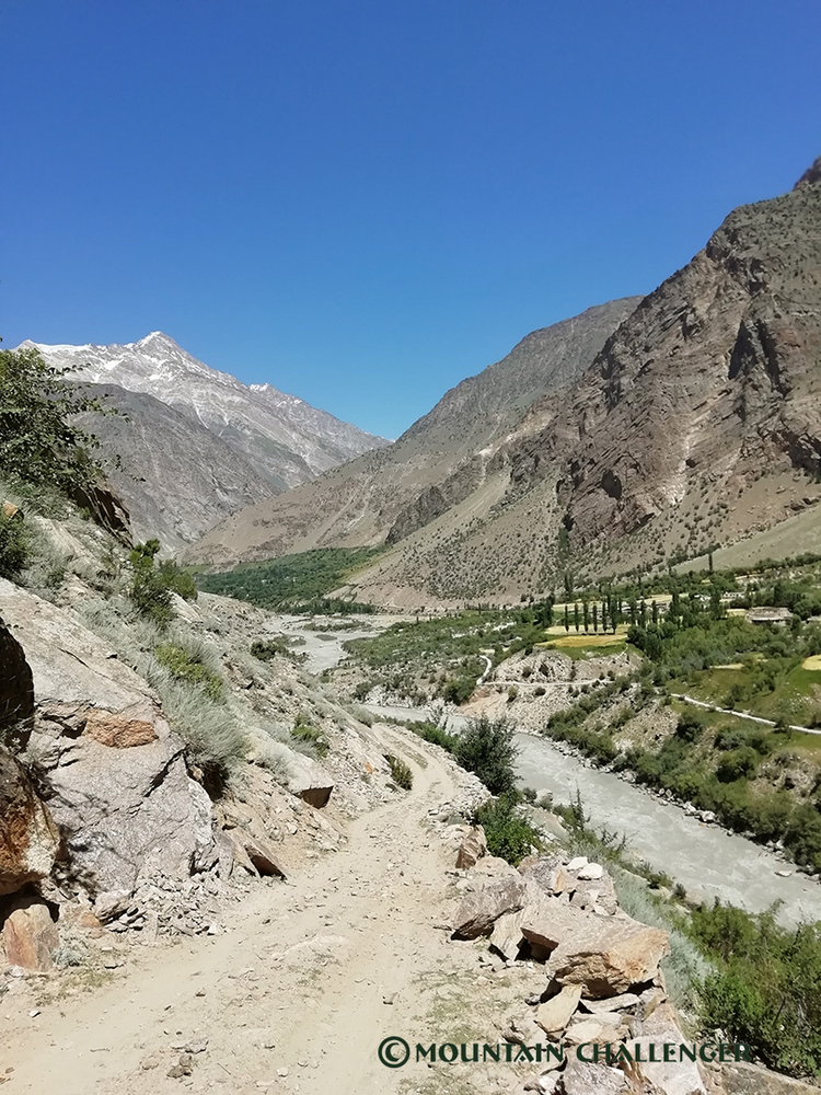
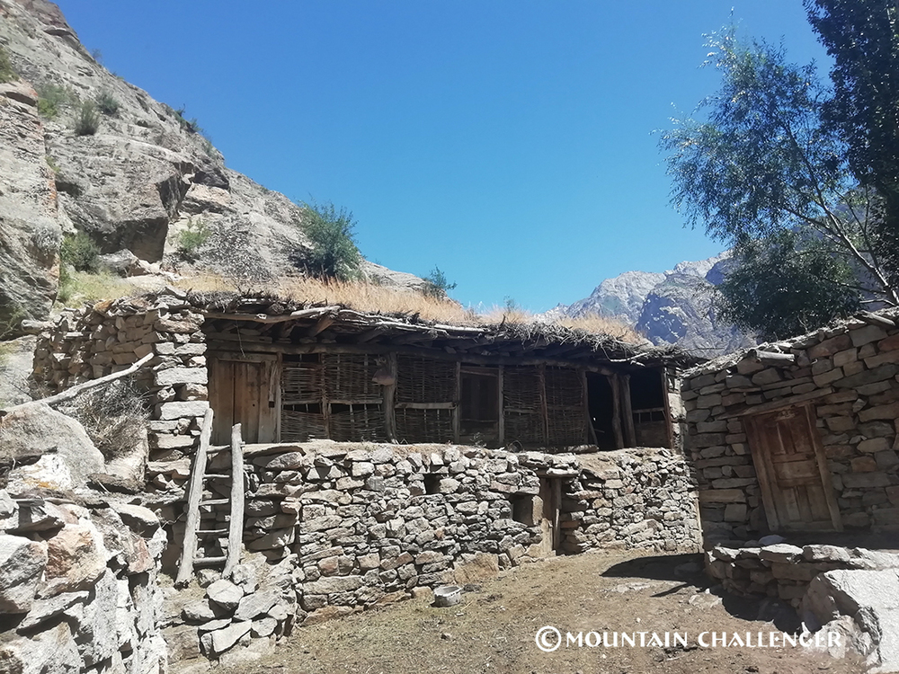
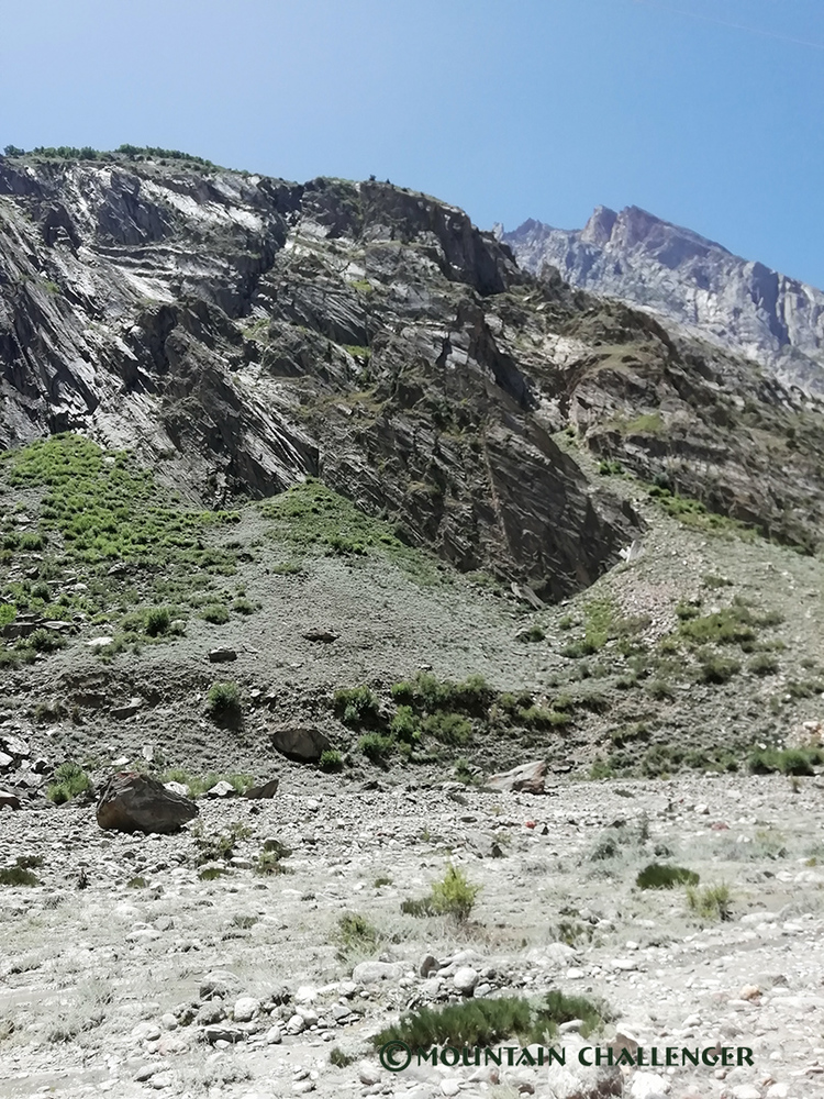
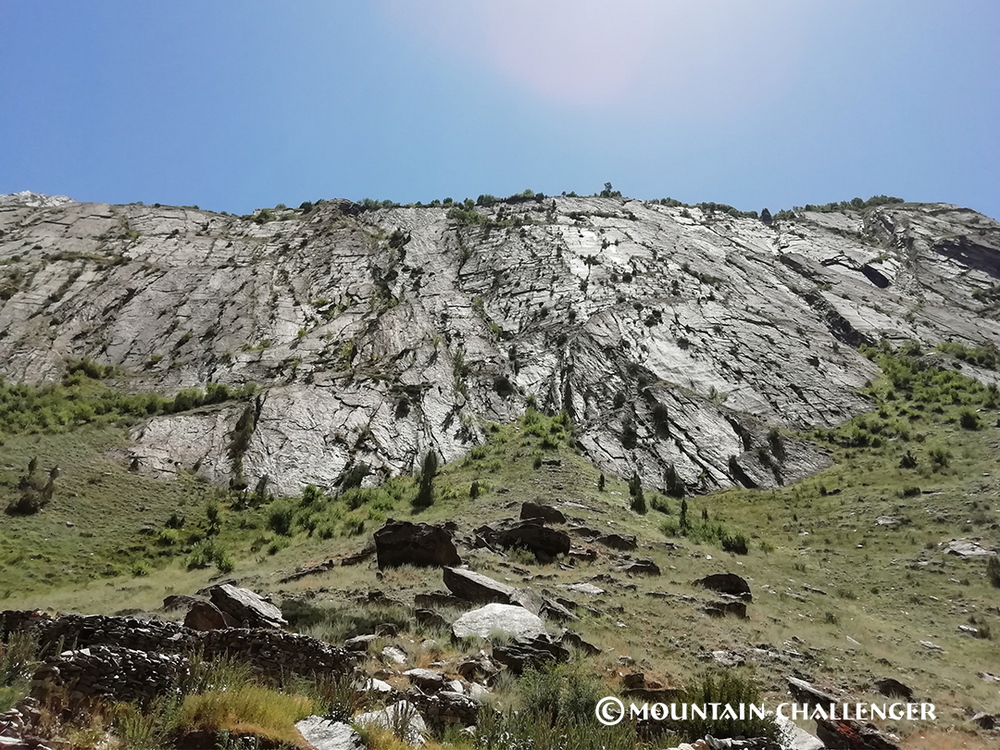
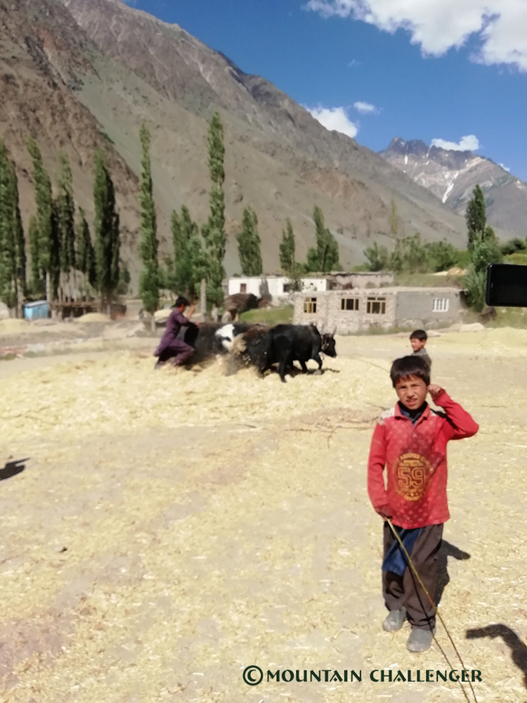
The route to Base Camp leads through glacial moraines, summer pastoral settlements, and the open spaces of Baltistan. This stage allows you to settle into the rhythm of the expedition, gradually gain altitude, and prepare your body for further activity.
After reaching Spantik Base Camp, the acclimatization phase begins, with rotation between camps.
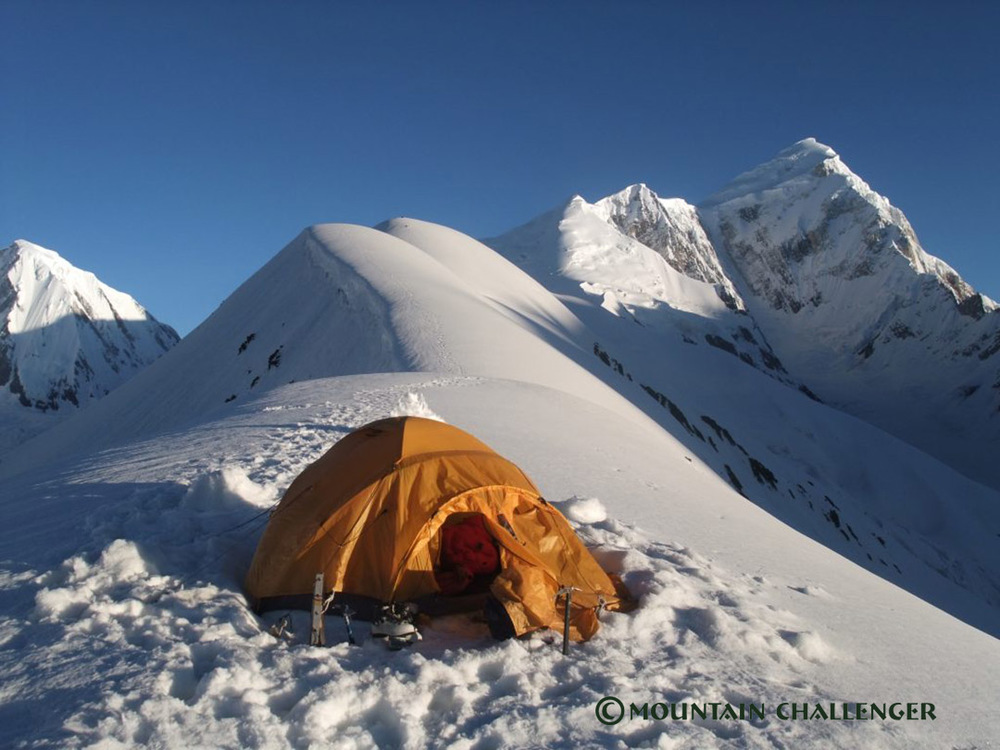
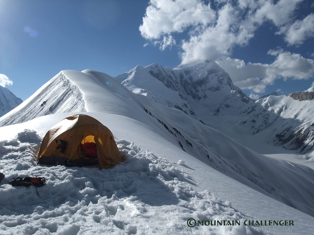
High Camps and Summit Strategy
Three high camps are established on the southeast route during the expedition, allowing your body to gradually acclimate to the altitude and increasing safety: 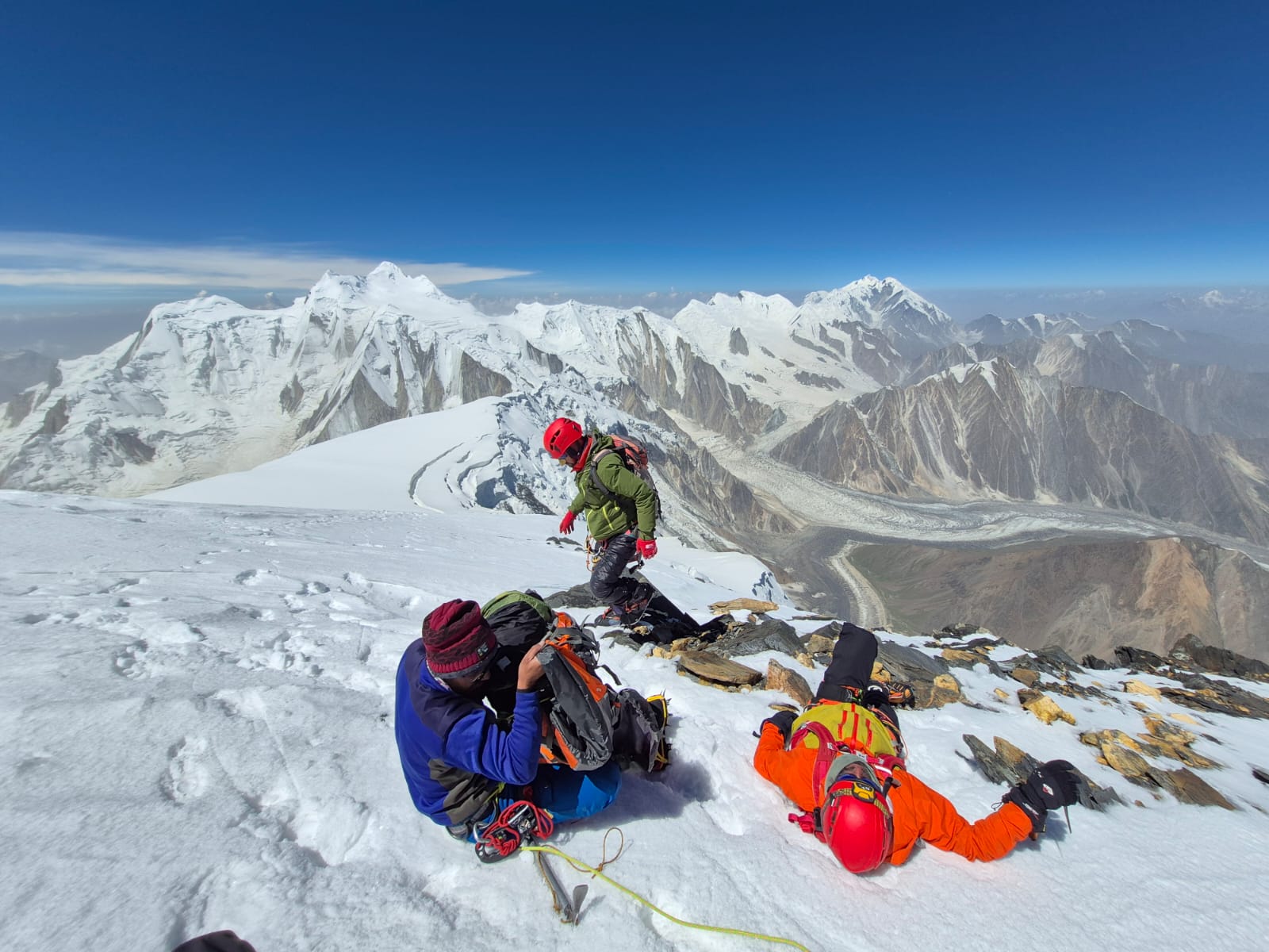
- Camp I – approx. 4,550 m
- Camp II – approx. 5,550 m
- Camp III – approx. 6,550 m
Rotation between camps, rest, and a suitable pace help minimize the risk of altitude sickness and prepare for the summit push at optimal weather conditions. Fixed ropes are used in critical areas, increasing safety in glacial terrain.
Who is the Spantik 7,027 m expedition for?
This expedition is designed for people who:
- have experience in high mountains (at least 5,000–6,000 m),
- can navigate glaciers and snowy terrain,
- are in very good physical condition,
- want to deliberately climb to the 7,000-meter level.
Spantik is technically accessible, but its 7,027 m altitude does not forgive a lack of preparation – this is a mountain for those ready for a true expedition.
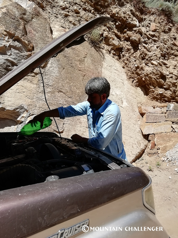
Full Expedition Organization
The expedition includes comprehensive logistical organization, including:
- local porters and support for equipment transport,
- an experienced expedition leader,
- transportation, accommodations, and formalities,
- a proven acclimatization plan,
- support at every stage of the expedition.
This allows you to focus on preparation, climbing, and achieving your goal, not on logistics.
More than the Summit
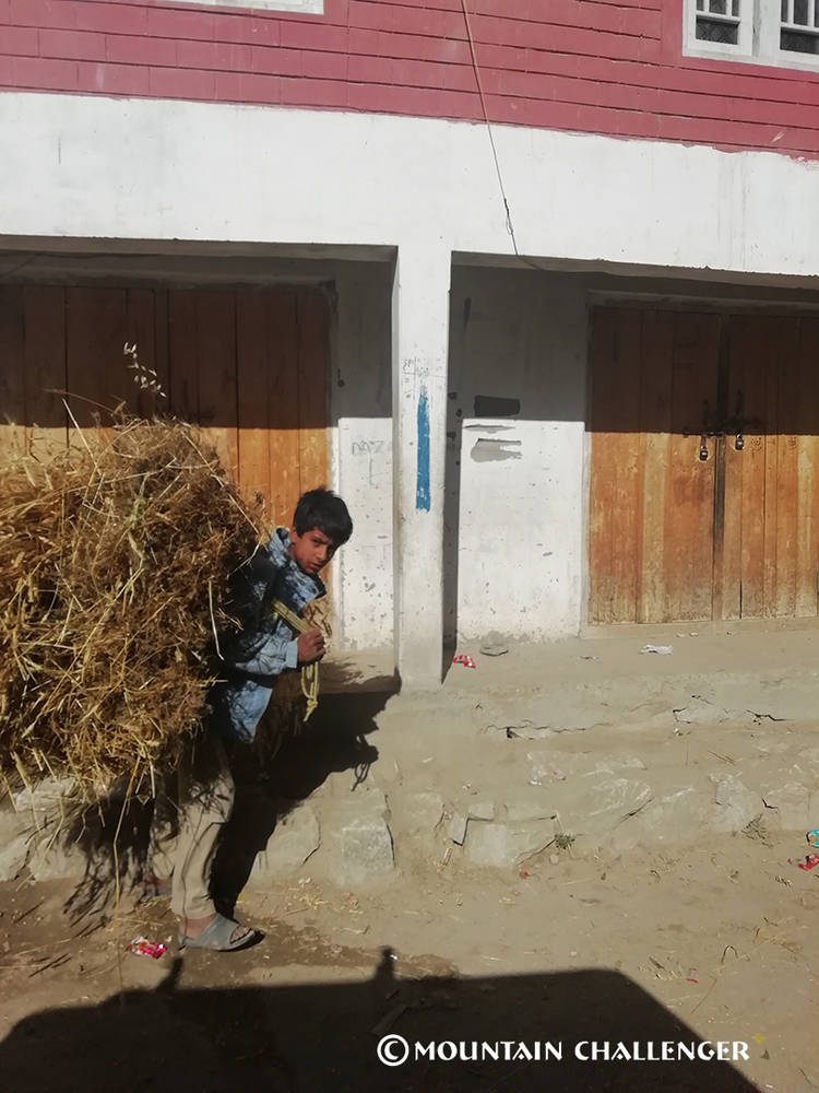
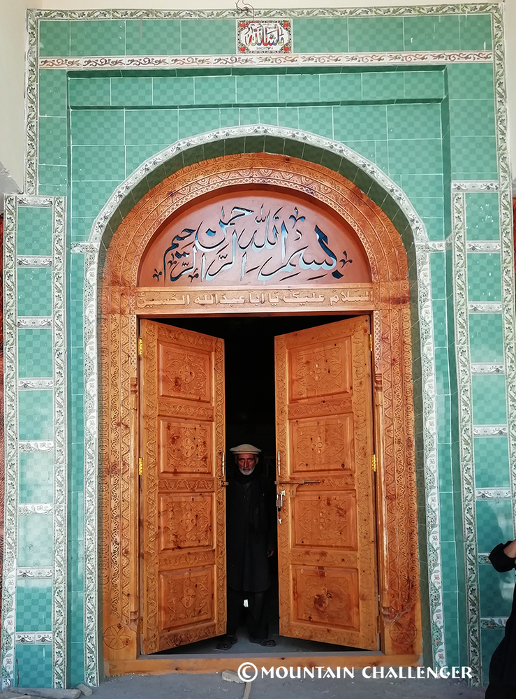
A Spantik expedition is not just about conquering 7,027 meters. It's a chance to experience raw nature, authentic Pakistani culture, and mountains that remain untouched by mass tourism.
This is an experience for those who crave true adventure, not a ready-made product.
Preparing for Altitude 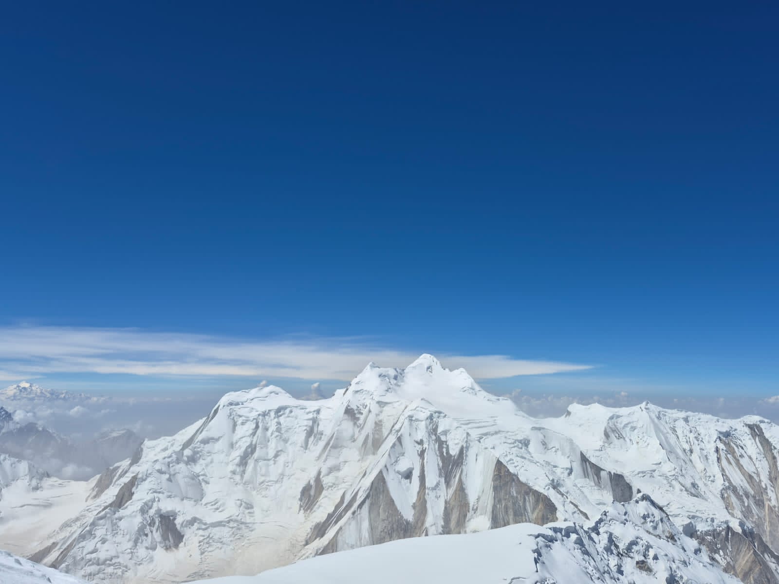
We recommend preparing your body for hypoxic conditions before the expedition. Proper altitude training significantly increases comfort, safety, and the chances of success for the entire expedition.
Why a Spantik 7,027m expedition with Mountain Challenger?
Because Mountain Challenger specializes in true high-altitude expeditions. 
We don't do mass ascents or tourist shortcuts. We organize full-fledged expeditions in the Karakoram, based on experience, safety, and real mountain logic.
Because Spantik 7,027m is the perfect seven-thousander for an ambitious step up.
The classic ridge, moderate technical difficulty, and immense exposure make it one of the best destinations for your first or next seven-thousander.
Because 26 days of activity is an advantage, not a cost.
Mountain Challenger emphasizes long acclimatization, rotations between camps, and a leisurely summit push, which significantly increases your chances of reaching the summit.
Because you're operating in the wild Karakoram, not a mountain "amusement park."
No crowds, no queues, no commercial pressure. You're part of an expedition, not a customer in a mass-produced product.
Because with Mountain Challenger, you're building experience for the future.
This expedition is a true school of high-altitude mountaineering—a foundation for your next goals at 7,000–8,000 meters.
Join the Mountain Challenger expedition to Spantik (7,027 m) and stand on the Golden Mountain of the Karakoram.
Spantik 7,027 m – the Golden Peak of the Karakoram awaits those ready to reach higher.
Price per person (27 daysexpedition) from: 4800 USD
Do you have a question or suggestion? Do you want to come with us?
Check:
What does the price not include
Dates for expeditions and trekking
Photo gallery